Winter Weather: Temperatures expected to drop
Published 12:09 am Thursday, November 13, 2014

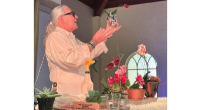
From right, Holy Family Catholic School kindergarteners Samarra Godley, Kenadie Calvit and Erik Hutchins get bundled up for weather in the 40s before getting picked up by their parents after school Wednesday. The cold temperatures are expected to continue throughout the week. (Sam Gause / The Natchez Democrat)
NATCHEZ — The cold may be here to stay.
The cold temperatures that chilled the Miss-Lou Wednesday are expected to continue throughout the week and drop below freezing Friday and Saturday mornings, National Weather Service forecasters predict.
Sunny skies are forecast for the majority of today with temperatures expected to fluctuate between the lows 30s to the mid 40s, senior meteorologist Mike Edmonston said.
But light showers possible today may trigger even colder temperatures throughout the weekend and into next week.
“We’ll have a reinforcing shot of cold, dry air that’s going to send temperatures down into the upper 20s,” Edmonston said. “(Wednesday) was the first cold spell, but that won’t be the last of the cold.”
The coldest temperatures so far this season are expected to hit the area tonight and into early Friday morning.
More than six hours of below freezing temperatures are expected, Edmonston said, which will likely bring an end to the growing season.
Those cold temperatures have caused the NWS to issue a freeze watch from this evening through Friday morning, when temperatures are expected to reach between 25 to 29 degrees.
The watch includes Adams County and Concordia Parish, as well as other portions of Mississippi and Louisiana.
A freeze watch means sub-freezing temperatures are possible, which could kill crops and other sensitive vegetation.
Edmonston said the NWS lists Nov. 15 as being the end of growing season and any freezing temperatures before that date are generally accompanied by a watch or warning advisory.
“We’re basically talking about agriculture with all of this because it’s not yet the end of the growing season,” Edmonston said. “If it was already the end of the growing season, it would still be cold, but we wouldn’t be issuing any warnings.”
Edmonston said residents should take precautions by bringing in any outside plants and animals, while also keeping themselves warm throughout the next several days.
“There’s going to be a cold period for at least five to seven days,” Edmonston said. “It will be colder again next week, but we won’t issue any warnings for it because it will be the end of growing season.”
Historically speaking, Edmonston said the low temperatures expected in the coming days should not break any records.
The NWS keeps historical weather data at six sites throughout the state, Edmonston said, including one in Vicksburg.
The record low in Vicksburg for this time of year, Nov. 14 specifically, was 20 degrees in 2013.
“We are saying the only site we felt has a chance of tying or beating the records lows is Greenwood,” Edmonston said. “The record there is 25, and right now we’re forecasting 25 or 26 this weekend.”
More News

-
Polls
 Loading ...
-
-