Weather Forecast: Oct 20, 2022
Published 1:46 pm Wednesday, October 19, 2022
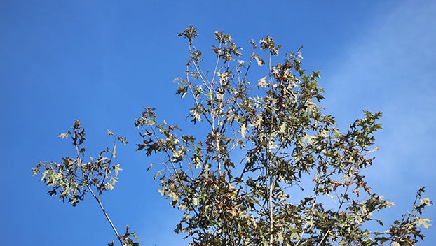
- fall leaves.
|
Getting your Trinity Audio player ready...
|
NATCHEZ — Fall is here as the leaves start to fall and the first frosts bring a chill to the air.
Wednesday night is forecast to have another frost as temps will fall down between 28 and 32 degrees. Frost is likely with possible damage to unprotected vegetation.
There is also a fire danger alert from the NWS office in Jackson. People not living in counties with burn bans should take caution in any open burnings. Mississippi’s Forestry Commission issued a statewide wild land fire danger alert Monday asking people to not burn.
Thursday is forecast to have wide spread frost mainly before 8 a.m. It will otherwise be sunny with a high near 71 and a calm wind becoming south around 5 mph in the evening. Thursday night should have a low around 48 degrees with a calm wind becoming south around 5mph. It will be a clear night.
Monday will be the next chance for rain in the Miss-Lou with a 20 percent chance of rain.
Sunrise is at 7:12 a.m. and sunset is at 6:28 p.m.
Natchez’s Mississippi River gauge is at 10.9 feet above gauge zero and continues to fall into the weekend. It should be around 9.7 feet above gauge zero on Sunday. It is approaching the 15th lowest river level in Natchez at 8.78 feet above gauge zero set on December 6, 2012. The lowest reading of the Mississippi River in Natchez is 1.7 feet below gauge zero set on February 3, 1940.
More News


SportsPlus
Pacers vs. Pelicans Injury Report Today – December 15
Currently, the New Orleans Pelicans (5-21) have seven players on the injury report, including Brandon Ingram, for their…
Saints vs. Commanders Predictions & Picks: Odds, Moneyline, Spread – Week 15
A win by the Washington Commanders over the New Orleans Saints is our computer model projection for these…
Will Derek Carr Play in Week 15? NFL Injury Status, News & Updates
Derek Carr is listed as out and won’t play in the New Orleans Saints’ Week 15 contest against…
Will Juwan Johnson Play in Week 15? NFL Injury Status, News & Updates
Juwan Johnson was a full participant in his most recent practice, and seems on track to play in…
Will Alvin Kamara Play in Week 15? NFL Injury Status, News & Updates
Alvin Kamara was a full participant in his most recent practice, and looks on track to play in…
-
Polls
 Loading ...
-
-
Special Sections
