Corps fighting salty intrusion due to low Mississippi River levels
Published 1:53 pm Saturday, July 8, 2023
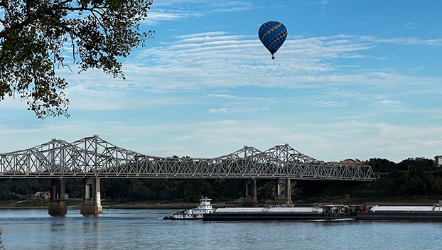
- Mississippi River at Natchez. (File Photo)
|
Getting your Trinity Audio player ready...
|
NATCHEZ — For the second time in a year, the U.S. Army Corps of Engineers is fighting to prevent salty gulf water from flowing against the current of the Mississippi River.
They are building what is essentially an underwater levee to stop the saltwater intrusion that is quickly becoming problematic for people and businesses along the river, which is currently a lot lower than normal this time of year but still powerfully flowing, according to news reports.
If something is not done, salt water could flow as far north as Natchez, WBRZ news reports.
The saltiness of the river is impacting drinking water in areas south of Baton Rouge, where the water treatment systems are “not designed to take salt water and make fresh drinking water out of it,” Heath Jones, an emergency manager for the U.S Army Corps of Engineers, said.
It’s the fourth time in nearly 40 years that saltwater mitigation has become necessary for the lower Mississippi River. USACE went through the same process last year, but since the sill they built is made out of dredged material, it quickly washed away.
A more permanent solution would be a massive undertaking, especially when the river is at its most powerful. Currently flowing at a speed of 200,000 cubic feet per second, “that would be quite an engineer feat to build something permanent across the Mississippi River,” Jones said.
While USACE battles the same problem about once every 10 years, local authorities say saltwater intrusion has not been an issue as far north as Natchez.
“To my knowledge, we have not had an issue with it in 40 years, so I don’t have the experience to know what the effects would be if we did,” said Anthony Hauer, Natchez-Adams County Port Director. “I do know that we here in Natchez do not extract water from the river for drinking water. We have our own water wells for drinking water.”
Data from the National Weather Service shows the Mississippi River level at Natchez to be at 16.5 feet as of 9 a.m. Friday and expected to rise to around 19.2 feet by Thursday, July 13.
That’s still very low for this time of year. At the same time last year, the river stage at Natchez was recorded at close to 25 feet and was around 38 feet at the same time in 2021 and 2020.
River stages are not the same as depth, NWS meteorologist Daniel Lamb said last fall, when the river reached its lowest point in the last decade at under 13 feet.
The zero level is based on long-term data and can be at different depths depending on what area of the river is measured.
“That’s why you sometimes have negative stages. Even if the river stage is zero, it’s not empty,” Lamb said.
The highest river levels are typically observed between March and May, largely because of northern snowmelts in the early Spring. The river is known to be lower in the drier seasons.
The lowest river stage recorded in the last decade was 7.66 feet, recorded in August 2012, and the next lowest was 8.78 feet, recorded in December 2012.
The record low for Natchez at negative 1.7 feet was recorded in 1940.
More News


SportsPlus
Buy Tickets for Nashville Predators vs. Winnipeg Jets on November 23
Filip Forsberg and Kyle Connor will be two of the most exciting players to keep an eye on…
How to Watch SWAC College Basketball Games – Saturday, November 23
SWAC teams will hit the court across four games on Saturday in college basketball play. That includes the…
College Basketball Picks Against the Spread: SWAC Games Today, November 23
The Prairie View A&M Panthers versus the Northern Colorado Bears is one of many solid options on Saturday…
How to Pick the Predators vs. Jets Game with Odds, Spread, Betting Line and Stats – November 23
If you’re searching for best bets for the Nashville Predators’ upcoming contest against the Winnipeg Jets on Saturday…
Will Steven Stamkos Score a Goal Against the Jets on November 23?
On Saturday at 7:00 PM ET, the Nashville Predators go head to head against the Winnipeg Jets. Is…
-
Polls
 Loading ...
-
-
Special Sections
