Ernesto weakens over Mexico; another tropical depression forms in Atlantic
Published 7:09 am Friday, August 10, 2012
VERACRUZ, Mexico (AP) — Ernesto weakened to a tropical depression as it moved inland early Friday, though forecasters warned it could still dump dangerous rains in the mountains of Mexico’s flood-prone southern Gulf region.
In Tabasco state, two fishermen drowned when the stormed passed through the area Thursday, Gov. Andres Granier told reporters.
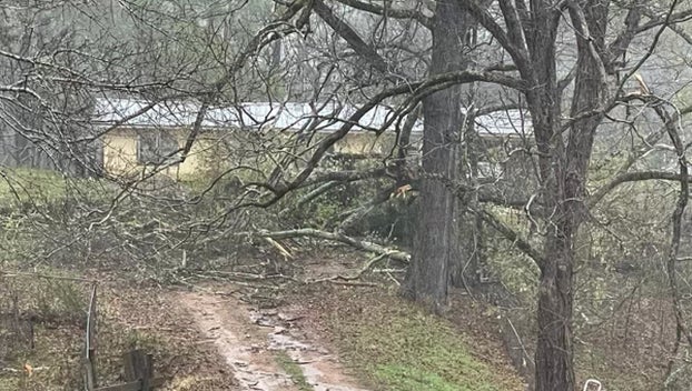
Granier said the storm’s strong winds ripped rooftops from several homes but residents refused to evacuate, fearing their possessions might be stolen. “People have chosen to stay in their homes and we are helping them,” he said.
Ernesto came ashore near the waters dotted with oil rigs operated by the state oil company in the far southern Gulf of Mexico. The government closed its largest Gulf coast port, Veracruz, and the smaller ports of Alvarado and Coatzacoalcos.
Coatzacoalcos, a major oil port, got seven inches (177 millimeters) of rain in the 24 hours before Ernesto’s center passed just a few miles (kilometers) away, according to Mexico’s weather service. San Pedro in the neighboring state of Tabasco had seen more than 10 inches (273 millimeters).
About 2,000 army and navy personnel were on standby to head to inland mountains to help in rescue work if needed, said Noemi Guzman, Veracruz state civil defense director. Guzman said no flooding had been reported at any of the state’s many rivers.
The U.S. National Hurricane Center said Ernesto’s sustained winds had decreased to 35 mph (55 kph) by early Friday. It said the storm would continue weakening and should dissipate by midday Friday, although it warned that heavy rains could continue into Friday night.
Ernesto was a weak hurricane when it made its first landfall late Tuesday near the cruise ship port of Mahahual in Yucatan, but it weakened as it crossed the peninsula and then spun into the Gulf of Mexico on Wednesday night.
Early Friday, the storm was centered about 100 miles (160 kilometers) northwest of Oaxaca, Mexico, and moving west near 13 mph (20 kph).
The U.S. hurricane center said Ernesto still had the potential to cause flooding and could produce rainfalls of up to 15 inches in some parts of the mountainous areas of Veracruz, Tabasco, Puebla and Oaxaca states before dissipating.
There were no reports of major flooding in Veracruz state and there have been only minor landslides on some roads, said Raul Zarrabal, the state’s communications secretary.
A new tropical depression formed in the Atlantic on Thursday far from land. It was the seventh tropical depression to form in the Atlantic and forecasters said it could strengthen into a tropical storm Friday as it took a path toward the Caribbean. Early Friday, it had maximum sustained winds of 35 mph (55 kph) and was 930 miles (1,495 kilometers) east of the Windward Islands.
The Atlantic hurricane season got off to an early start and will likely stay busy, producing a few more storms than originally predicted, U.S. forecasters said Thursday.
Forecasters said warmer-than-normal sea surface temperatures and wind patterns that favor storm formation mean chances are higher for an above-normal season. However, that is tempered with the expected development of an El Nino weather pattern over the Pacific that may suppress storms later in the season.
In the Pacific, Gilma weakened from a hurricane to a tropical storm and was not seen as a threat to land. It was about 665 miles (1,070 kilometers) west-southwest of the southern tip of Mexico’s Baja California Peninsula, with maximum sustained winds near 65 mph (100 kph).


